
America
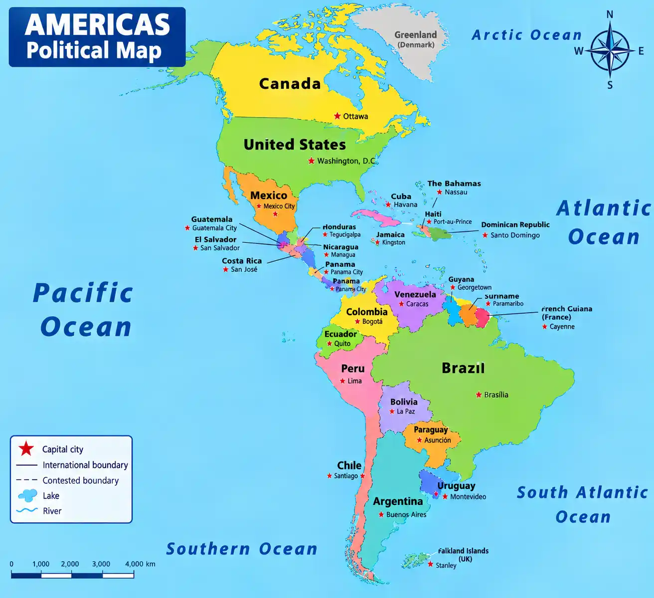
Comprehensive overview of the American continent: 35 internationally recognized sovereign countries, updated demographic data, economy, climate mosaic and geopolitics.
The Americas are composed of 35 internationally recognized sovereign countries (UN members), plus several dependent territories or autonomous regions (Greenland, French Guiana, Falkland Islands, Puerto Rico, etc.). The American continent covers approximately 42.55 million km², i.e. about 28.4% of the world's emerged land, making it the largest continent in area after Asia. The American coastline totals approximately 330,000 km. These nations have about 1.02 billion inhabitants, i.e. about 13% of the world population, and generate about 28% of world GDP (about 30,000 billion dollars nominal).
The Americas are the most urbanized continent in the world: about 80% of Americans live in cities. It stands out for its great diversity of languages, cultures and climates, from the Canadian Arctic to Argentine Patagonia. Brazil is the most populous country in South America and the fifth in the world, while the United States is the world's leading economic power. Canada is the second largest country in the world by area. The Amazon, the world's largest river by volume, crosses the planet's green lung, and the Andes is the longest continental mountain range.
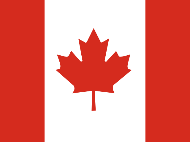 Canada
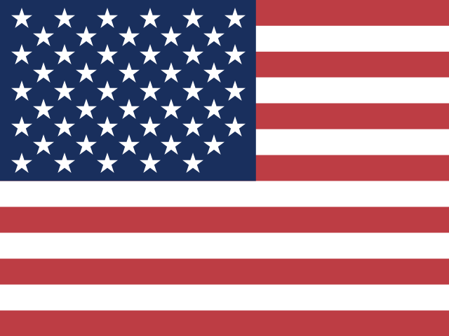 United States
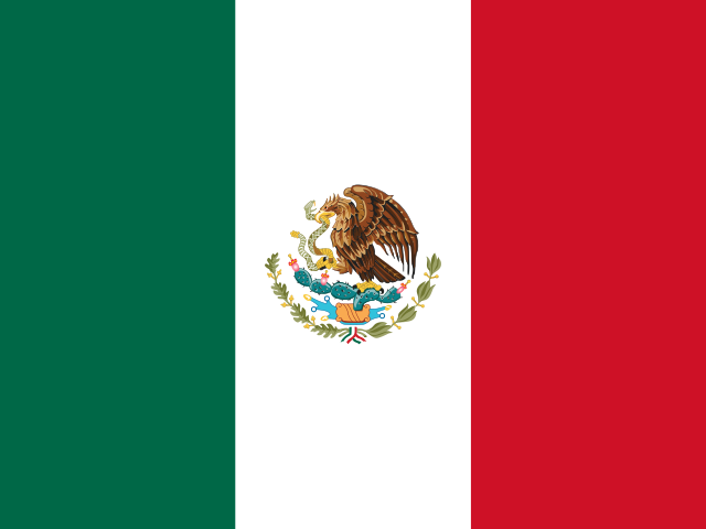 Mexico
 Greenland ¹
 Belize
 Costa Rica
 El Salvador
 Guatemala
 Honduras
 Nicaragua
 Panama
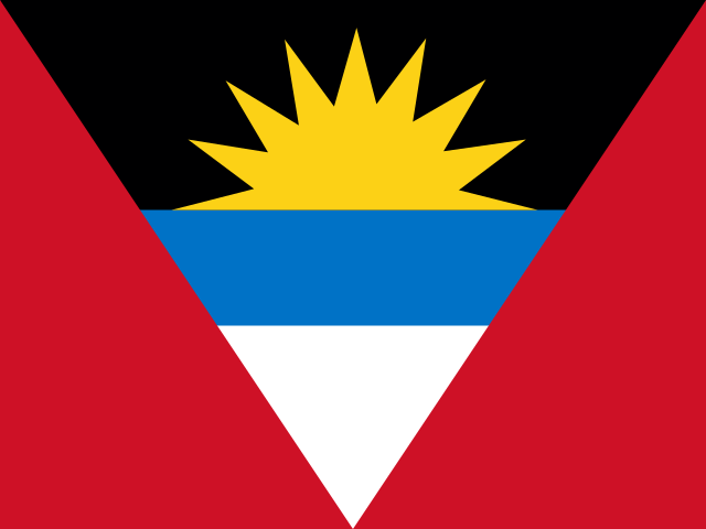 Antigua and Barbuda
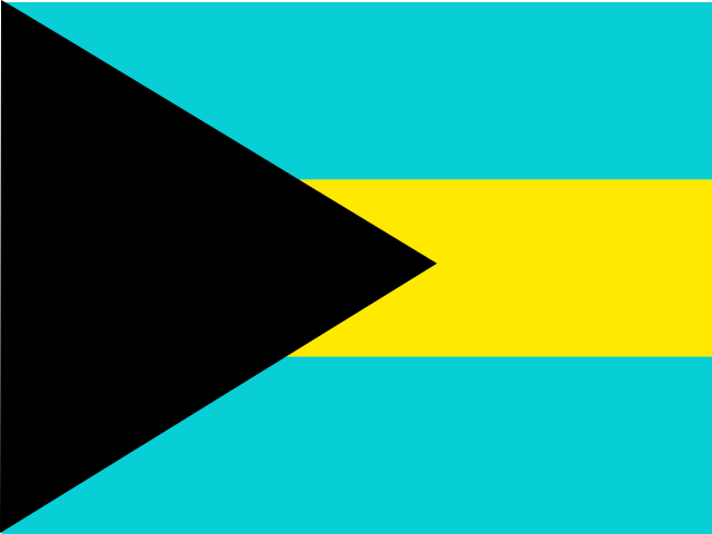 Bahamas
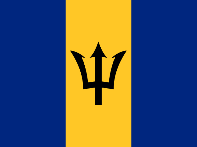 Barbados
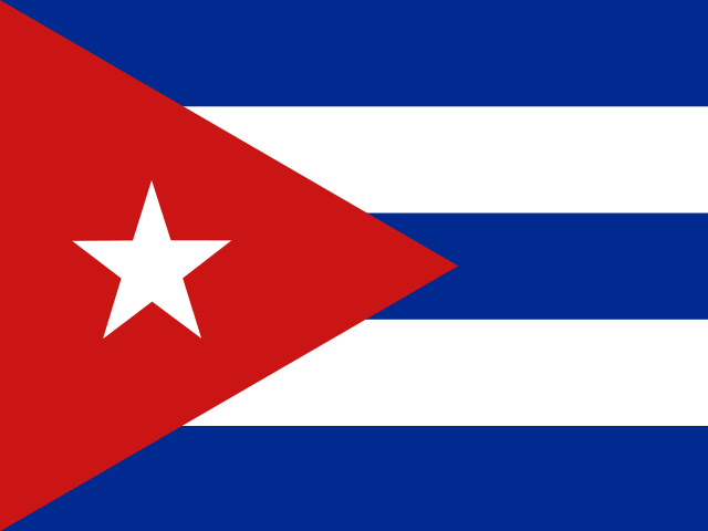 Cuba
Cuba Dominica
 Grenada
 Haiti
Haiti  Jamaica
 Dominican Republic
 Saint Kitts and Nevis
 Saint Vincent and the Grenadines
 Saint Lucia
 Trinidad and Tobago
 Argentina
 Bolivia
 Brazil
 Chile
Chile Colombia
 Ecuador
 Guyana
 Paraguay
 Peru
Peru Suriname
 Uruguay
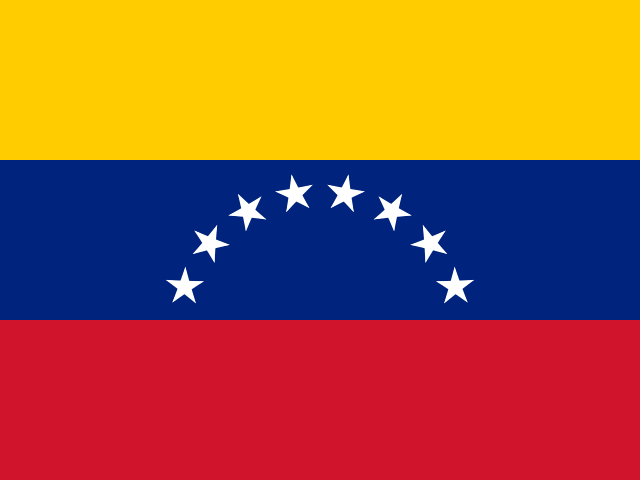 Venezuela
 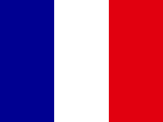 French Guiana ¹
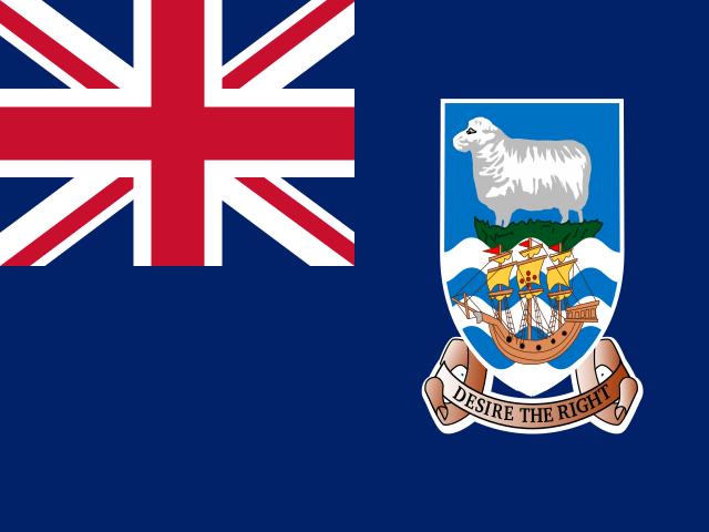 Falkland Islands ¹
American state alliances and trade agreements
- OAS - Organization of American States
- Mercosur - Southern Common Market
- NAFTA / USMCA - United States-Mexico-Canada Agreement
- CARICOM - Caribbean Community
- CAN - Andean Community of Nations
- ALBA - Bolivarian Alliance for the Americas
- CELAC - Community of Latin American and Caribbean States
- CACM - Central American Common Market
- UNASUR - Union of South American Nations
- PA - Pacific Alliance
- OECS - Organisation of Eastern Caribbean States
- IDB - Inter-American Development Bank
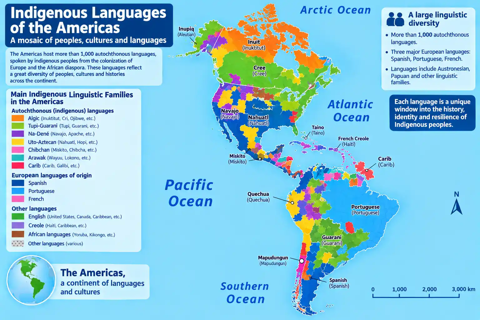
Most spoken native languages in the Americas
| Language | Share of Americans | Native speakers (millions) |
|---|---|---|
| Spanish | 42.0% | 430 million |
| English | 28.0% | 285 million |
| Portuguese | 21.0% | 215 million |
| French | 2.5% | 25 million |
| Quechua | 1.0% | 10 million |
| Guarani | 0.7% | 7 million |
| Aymara | 0.3% | 3 million |
| Nahuatl | 0.3% | 3 million |
| Haitian Creole | 1.2% | 12 million |
| German | 0.2% | 2 million |
The Americas are a multilingual continent where European languages (Spanish, English, Portuguese, French, Dutch) and many indigenous languages (Quechua, Guarani, Aymara, Nahuatl, Maya, Mapuche, etc.) coexist. Spanish is the most spoken language, followed by English and Portuguese (Brazil). French remains present in Canada (Quebec), Haiti and the French West Indies. The main religions are Christianity (Catholicism majority in Latin America, Protestantism in North America), with Muslim, Jewish and Hindu minorities.
Population and density in the Americas
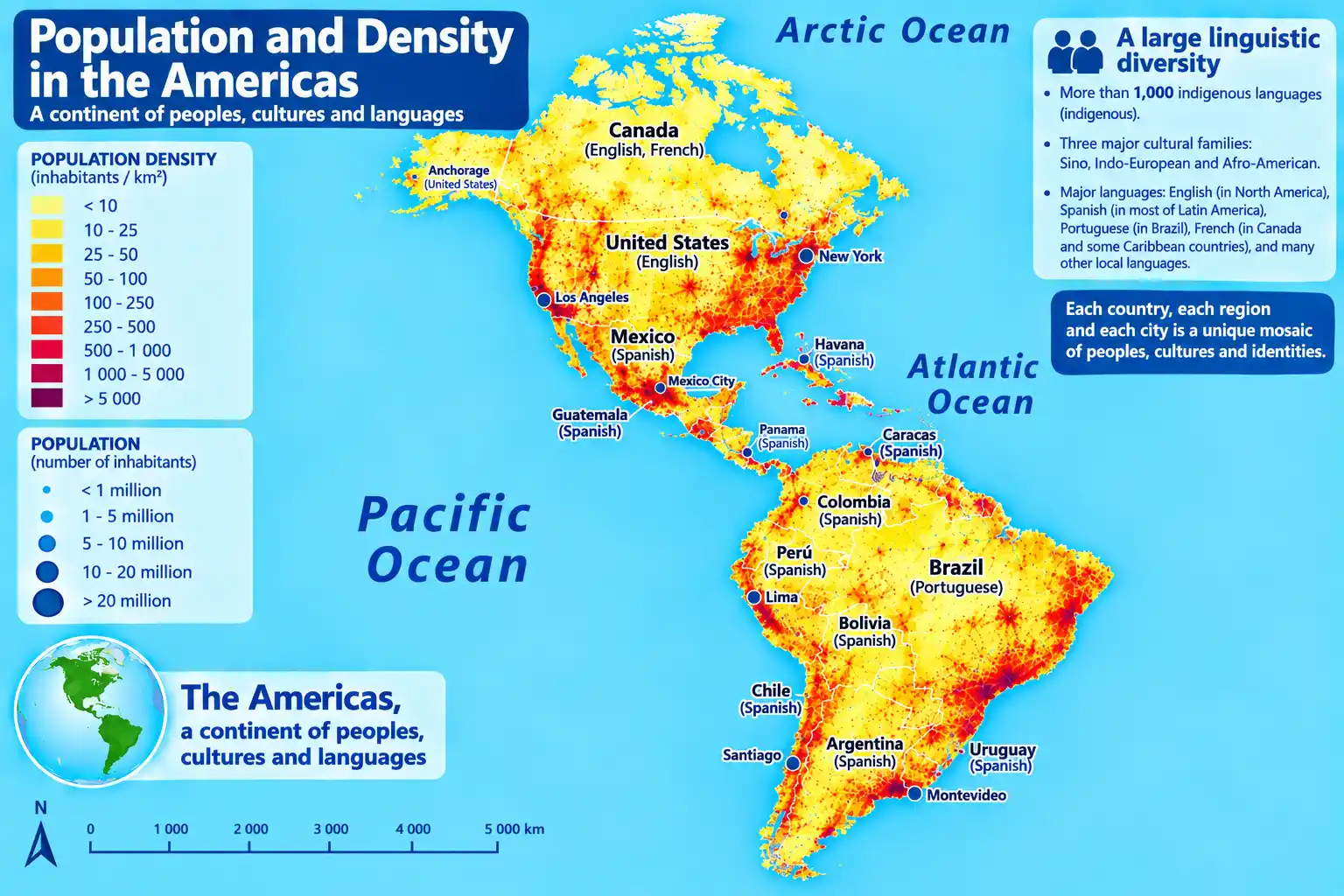
The Americas are a highly urbanized continent: about 80% of the population lives in cities. The average density is about 24 inhabitants per km², but with very strong disparities. The most densely populated areas are in the Caribbean, Central America and certain regions of South America (Brazilian coast, Andes). Conversely, northern Canada, Alaska, the Amazon and Patagonia are virtually empty.
Barbados: (668 inhabitants/km²),
Haiti: (430 inhabitants/km²),
Puerto Rico: (350 inhabitants/km²),
El Salvador: (310 inhabitants/km²),
Dominican Republic: (220 inhabitants/km²),
Guatemala: (160 inhabitants/km²),
Jamaica: (260 inhabitants/km²).
Conversely, the lowest densities are found in Canada (4 inhab/km²), Greenland (0.14 inhab/km²), Guyana (3 inhab/km²), Iceland (3 inhab/km²) and Australia (3 inhab/km²) — but the latter two are not part of the Americas. The most populous countries are the United States (≈ 335 million), Brazil (≈ 215 million), Mexico (≈ 130 million) and Colombia (≈ 52 million).
American demographics
With a median age of about 31 years, the Americas are a relatively young continent, but with large gaps: Canada and the United States have an older population (median age ~40 years), while Latin America and the Caribbean are younger (~28 years). This demographic diversity reflects different migratory histories and demographic transitions.
The average fertility rate in the Americas is 1.9 children per woman, close to the generational renewal threshold (2.1). The most fertile countries are Guatemala (2.8), Bolivia (2.6), Paraguay (2.4) and Haiti (2.5). The least fertile are Canada (1.4), the United States (1.6), Brazil (1.6), Chile (1.5) and Cuba (1.5).
Immigration plays a major role in American demography, particularly in the United States and Canada, which welcome hundreds of thousands of migrants each year. In Latin America, migratory flows are more contrasted: emigration to the United States, but also intra-regional immigration (Venezuela to Colombia, Haiti to the Dominican Republic, etc.).
The demographic transition is advanced in North America and the Caribbean, while it continues in Central America and certain regions of South America. The American population should continue to grow moderately, driven by immigration and still relatively high fertility in certain Andean and Central American countries.
📊 Summary demographic table of the Americas
| Indicator | Value |
|---|---|
| Total population (35 countries) | 1.02 billion |
| Median age | 31 years |
| Fertility rate | 1.9 children / woman |
| Infant mortality rate | ≈ 12 ‰ |
| Life expectancy | 76.5 years (men: 73.5 - women: 79.5) |
| Population aged 65 and over | 12.5 % |
| Population aged 0-14 | 22.5 % |
Time zones in the Americas
The Americas extend over 8 main time zones, from UTC−10 to UTC−2:
- UTC−10 (Hawaii-Aleutian): Hawaii, Aleutian Islands (United States).
- UTC−9 (Alaska): Alaska (United States).
- UTC−8 (Pacific): California, Nevada, Oregon, Washington, British Columbia, Baja California (Mexico).
- UTC−7 (Mountain): Alberta, Colorado, Arizona, Utah, Chihuahua (Mexico).
- UTC−6 (Central): Illinois, Texas, Manitoba, Mexico City, Guatemala, Honduras, El Salvador, Costa Rica, Nicaragua.
- UTC−5 (Eastern): New York, Florida, Quebec, Ontario, Colombia, Peru, Ecuador, Panama, Cuba, Haiti, Jamaica.
- UTC−4 (Atlantic): Nova Scotia, Puerto Rico, Venezuela, Bolivia, Chile, Paraguay, Brazil (Amazonas), Barbados, Trinidad and Tobago.
- UTC−3 (Argentina, Brazil): Argentina, Uruguay, Brazil (São Paulo, Rio de Janeiro), French Guiana, Suriname.
- UTC−2 (Fernando de Noronha): Fernando de Noronha archipelago (Brazil).
Special cases and exceptions: Chile and Paraguay apply daylight saving time in the southern summer. Brazil abolished daylight saving time in 2019. Venezuela is on UTC−4 all year round since 2016. Mexico abolished daylight saving time in 2022, except in border areas with the United States. Greenland uses UTC−3 (and UTC−1 at Ittoqqortoormiit).
American institutions
American geology and geography
From a geological point of view, the Americas rest on several tectonic plates: the North American plate, the South American plate, the Caribbean plate and the Nazca plate. The meeting between the Nazca and South American plates is at the origin of the Andes, the longest continental mountain range (7,000 km), and of the subduction that generates strong seismic and volcanic activity on the Pacific coast. The Caribbean plate interacts with the North American and South American plates, producing earthquakes and volcanoes in the Antilles.
The conventional geographical boundary between North America and South America is often drawn at the Isthmus of Panama or the Panama Canal. The continent is bordered by the Arctic Ocean to the north, the Atlantic Ocean to the east, the Pacific Ocean to the west and the Southern Ocean to the south.
Main American geological and geographical features:
- Canadian Shield: vast region of Precambrian rocks (up to 4 billion years old) covering a large part of Canada and Greenland.
- Andes: active 7,000 km mountain range, with Aconcagua (6,961 m, Argentina), the highest summit in the Americas.
- Rocky Mountains: 4,800 km range in North America, culminating in Denali (6,190 m, Alaska).
- Amazon Basin: world's largest river basin (7 million km²), with the Amazon River (6,400 km).
- Great Lakes: world's largest group of freshwater lakes (245,000 km²), on the Canada–US border.
- Active volcanism: Pacific Ring of Fire (Andes, Cascades, Mexico), Antilles (Mount Pelée, Soufrière), Iceland (Mid-Atlantic Ridge).
- Niagara Falls: famous falls on the border between Canada and the United States.
Climate in the Americas
The Americas extend from the Arctic (Greenland, Alaska, Canada) to Tierra del Fuego (Argentina, Chile), passing through the equator. This exceptional north-south extent gives it a wide variety of climates, from polar to equatorial.
| Climate zone | American climate |
|---|---|
| Polar / subarctic | Very cold winters (-30 to -10°C), short and cool summers (5-15°C), low precipitation (snow) — Greenland, northern Canada, Alaska |
| Humid continental | Cold winters (-10 to 0°C), hot summers (20-30°C), distributed precipitation — Eastern United States, Southern Canada |
| Oceanic | Mild winters (5-10°C), cool summers (15-22°C), regular rain — West coast of Canada and the United States, central Chile |
| Mediterranean | Hot and dry summers (25-35°C), mild and wet winters (10-15°C) — California, central Chile |
| Tropical / equatorial | Hot and humid all year round (25-28°C), heavy rainfall — Amazon, Caribbean, Central America |
| Desert | Very low precipitation (< 250 mm), large temperature variations — Southwestern United States, northern Mexico, Atacama (Chile), Patagonia |
| Mountain | Extreme altitudinal variations, snow at altitude — Andes, Rockies, Sierra Nevada |
Weather records in the Americas
🔥 Highest temperature officially recorded in the Americas: 56.7°C at Furnace Creek (Death Valley, California, United States), on 10 July 1913.
🌡️ Hottest place on average per year: Death Valley (United States), with an average annual temperature of 24.5°C.
❄️ Lowest temperature in the Americas: −62.8°C at Snag (Yukon, Canada), on 3 February 1947.
🌧️ Rainiest city in the Americas: Quibdó (Colombia) ≈ 10,000 mm/year, one of the rainiest in the world.
☀️ Driest regions in the Americas: the Atacama Desert (Chile), with some areas never having recorded rain, and Death Valley (United States).
🏔️ Highest summit in the Americas: Aconcagua (6,961 m, Argentina).
Energy in the Americas
The Americas are a continent rich in energy resources: the United States is the world's leading producer of oil and natural gas, Canada has the world's third largest oil reserves (oil sands), Venezuela has the world's largest proven oil reserves, and Brazil is a major player in hydropower and biofuels. The continent is also a leader in renewable energy (hydropower, wind, solar) and in the energy transition.
The main American energy models are:
- Oil and gas model: United States (world's leading producer of shale oil and gas), Canada (oil sands, gas), Venezuela (conventional reserves), Mexico, Brazil (offshore oil), Argentina (Vaca Muerta), Colombia, Ecuador.
- Hydropower model: Brazil (≈ 65% hydropower electricity, Itaipu Dam), Canada (≈ 60% hydropower, Churchill Falls), Venezuela (Guri Dam), Paraguay (Itaipu), Colombia, Ecuador, Peru.
- Modern renewable model (wind, solar, geothermal): United States (over 140 GW wind and 100 GW solar), Canada (wind, solar), Brazil (wind and biomass), Chile (solar and geothermal), Mexico (solar and geothermal), Costa Rica (≈ 98% renewable electricity), Uruguay (≈ 90% renewable).
- Nuclear model: United States (≈ 20% of electricity, world's largest nuclear fleet), Canada (≈ 15%), Brazil (Angra 1 and 2), Mexico (Laguna Verde), Argentina (Atucha, Embalse).
 Nigeria
 Senegal
 Ivory Coast
 South Africa
 Algeria
 China
China India
India Japan
Japan South Korea
 Turkey
 Saudi Arabia
 Iran
Iran France
 Germany
 Italy
Italy United Kingdom
 Spain
Spain Ukraine
 Russia
 Netherlands
 Belgium
 Switzerland
 Australia
 New Zealand